

New places demand that we gain our bearings (both geographically and metaphorically) in order to operate successfully – I think that when it comes to working in Haiti, the maps below might help you do both.
Whether you’re new to Haiti, or have lost count of your many visits, we’ve selected the following five maps because of the important information that they help to illustrate. If you were to layer them over top each other, you would begin to form a clearer picture of the complexity of the place you are entering in to. Additionally, each individual map provides unique insight into Haiti’s landscape, history, challenges, and potential moving forward.
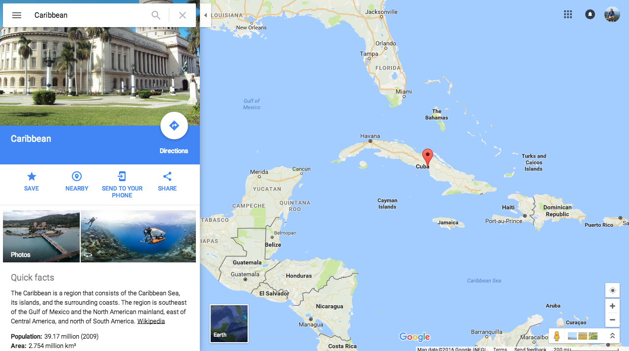
GEOGRAPHY
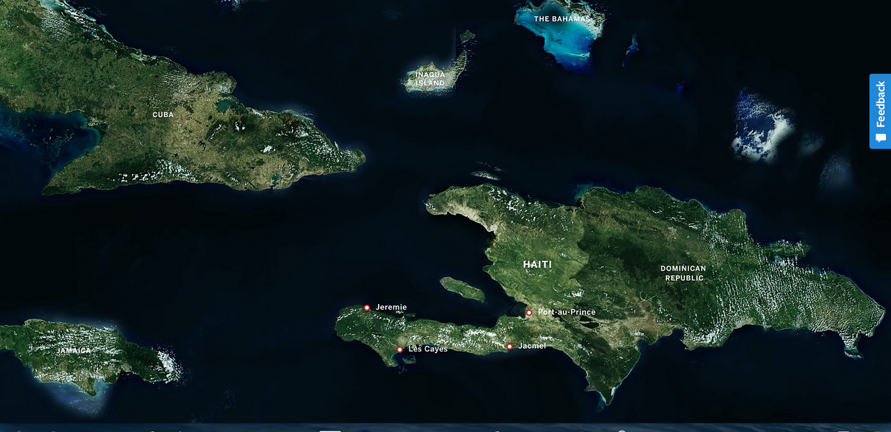
Located in the Caribbean, Haiti makes up the Western half of the island, Hispaniola. Haiti’s neighbors, proximity to the continental United States, and position as a geographical gatekeeper to the rest of Central and South America have played an important role throughout her history.
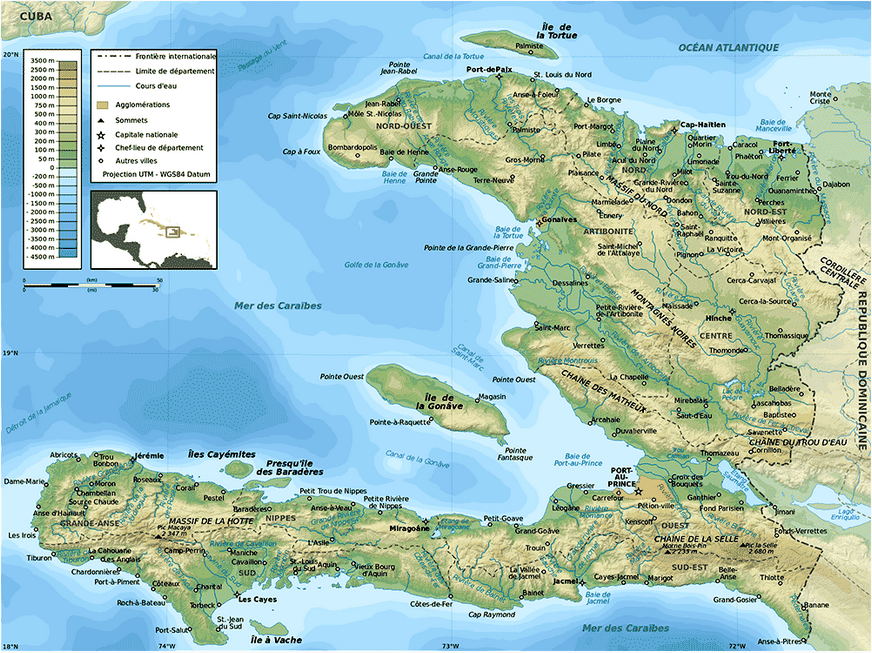
Map of Haiti from http://www.travelinghaiti.com/map-of-haiti/
MAPPING THE DISPLACEMENT & MIGRATION OF PEOPLE AFTER THE EARTHQUAKE (2010)
The map below, from USAID, really speaks for itself.
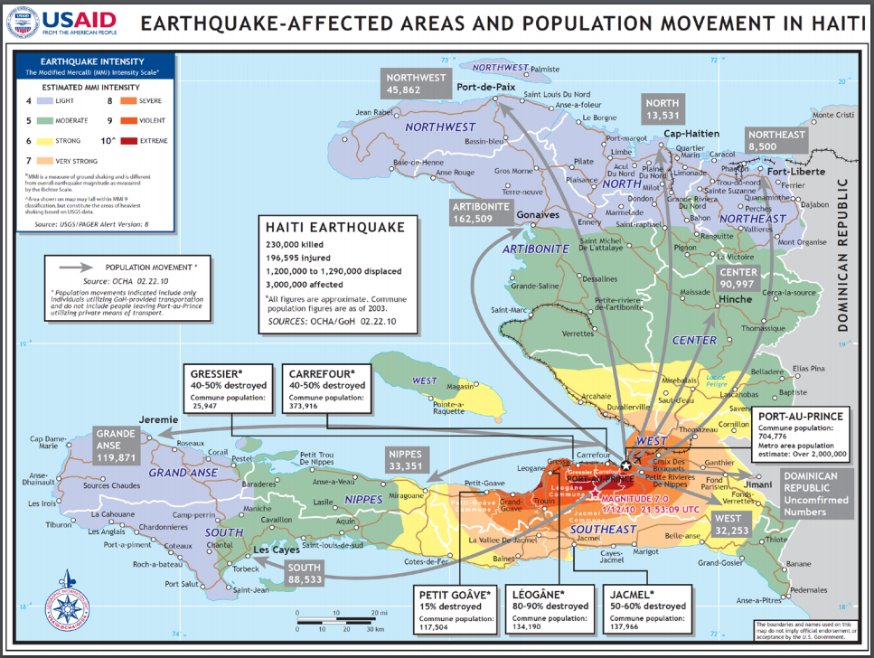
A hi-res version of this map is available by copy-pasting this url into your browser: file:///C:/Users/rcjd/Downloads/Operation%20United%20Respose%20JOCA%20Report].pdf
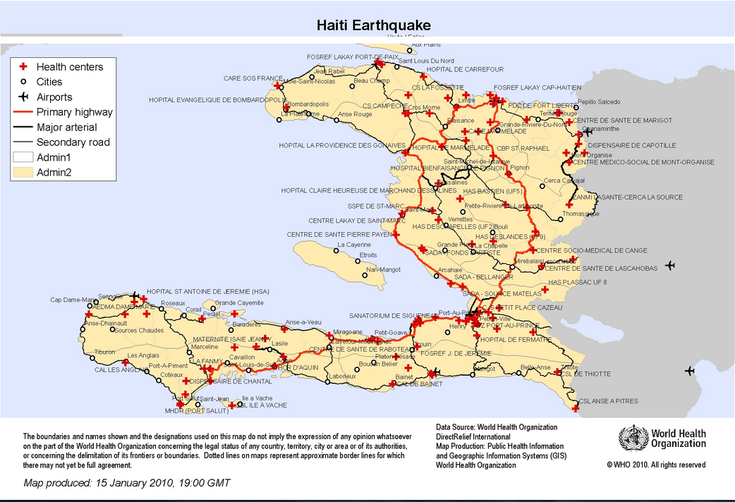
The map below, from the WHO, shows all of the Health Centers in Haiti as of January 2010. It does not account for the degree to which they were damaged during the earthquake.
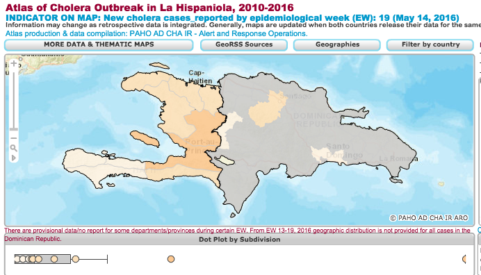
MAPPING THE SPREAD OF CHOLERA
The recent introduction of Cholera amidst Haiti’s poor infrastructure and sanitation systems led to a devastating epidemic. This map from the Pan American Health Organization is an interactive resource that tracks recent instances of cholera in the country, as well as hosting an archive of historical data.
TOURISM’S REBIRTH IN HAITI
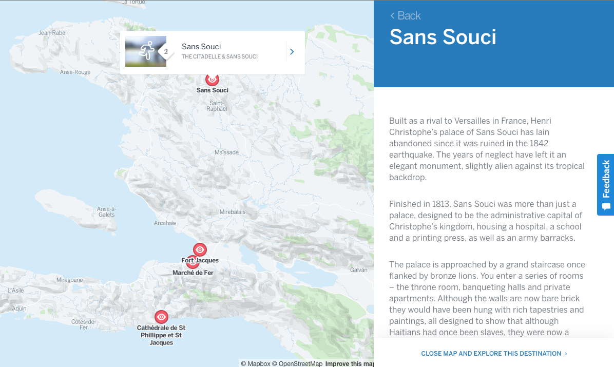
Lonely Planet’s Maps offer users the chance to virtually visit key sites across the country – maybe the majesty of La Citadelle Laferrière will even encourage you to venture north during your next visit; while it’s a hike to the top, it’s a sight you don’t want to miss.
I believe that the beauty of maps is their readability, and the way they bring new understanding to our ideas about different places. I would like to see so many different maps of Haiti: Maps of markets, small businesses, beaches, historical sites, rainfall, festivals, and so much more.
I would also love to see personal maps, both from Haitians, and visitors. I wonder what locations merit a place on your map of Haiti? Maybe you have favorite places to eat and gather, maybe it’s the homes of friends and family, or maybe secret beaches where you can enjoy the crystal blue waters of the Caribbean Sea.
If you have an idea of a map you would like to see of Haiti, or maybe you have already found one worth sharing, we would love to see it.
As always, we welcome your thoughts and comments below. You can also reach out to us at community@haitihub.com.
Written by Erin Nguyen on July 27, 2016